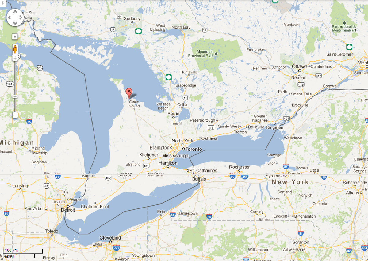
 Zooming in somewhat, this second map focuses on Southwestern Ontario, Canada, showing Colpoy's Bay village near the base of the Bruce Peninsula which points northward between Lake Huron to the west and Georgian Bay to the east.
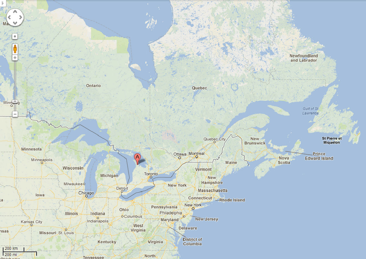 This is a broad view of Eastern Canada and the Northeast United States, with Colpoy's Bay village denoted with the red label "A".
Zooming in somewhat, this second map focuses on Southwestern Ontario, Canada, showing Colpoy's Bay village near the base of the Bruce Peninsula which points northward between Lake Huron to the west and Georgian Bay to the east.
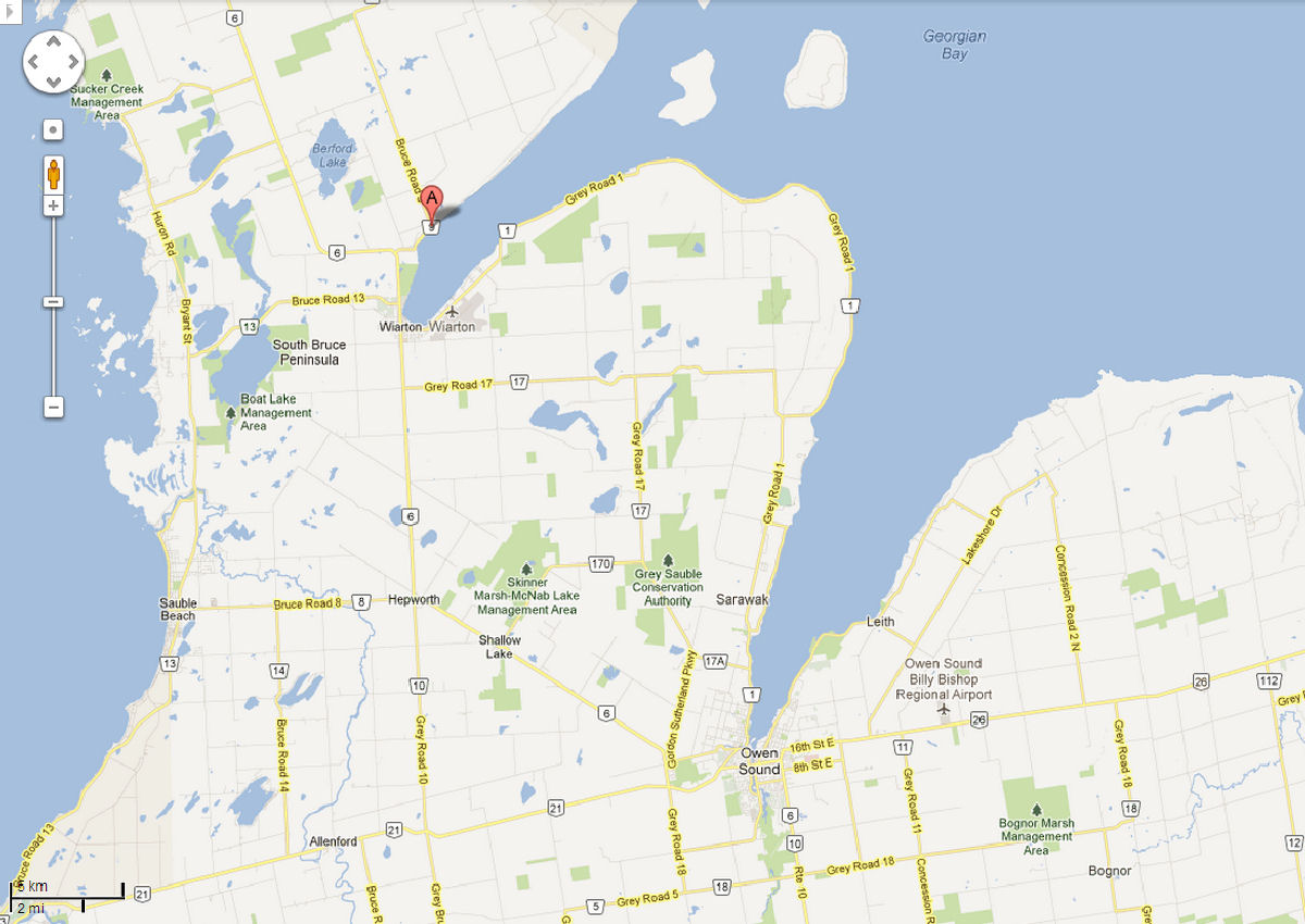 Focusing in on the body of water named "Colpoy's Bay," the village itself is clearly shown on the northern shore with the larger town of Wiarton to the southwest at the base of the Bay.
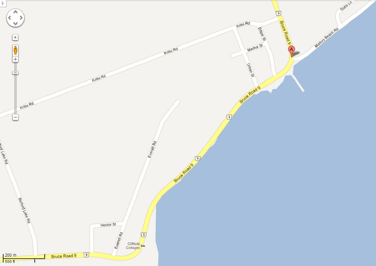 This last map shows the streets of Colpoy's Bay village. Although the village stretches along the length of Bruce Road 9 in this image, the historical "main street" begins where Bruce Road 9 turns north from the shoreline and continues to Kribs Road. This stretch of road was once known as "Albemarle Street."